Sunday, 30 September 2012

Smoke

Since our wettest-ever June, the pendulum has swing the other way.  September has been hot and dry.  So dry that the fire hazard cancelled sister Barbara's horse trail-riding events near Coombs this weekend.  So dry that layers of smoke from forest fires have settled among the peaks and valleys along our familiar air routes.
Here are some unusual views from our recent round trip to Calgary:
Looking back at New Denver Glacier from Kuskanax Valley
Rocky Mountain Trench at Sinclair Pass
peaks west of Canmore, Spray Lake
Although the beauty of the layers is arresting, I find it unnerving to fly in the murk.  I felt the same way about scuba diving in poor visibility.  At least with flying there is the potential destination.  Celebrating birthdays with family was worth some anxiety over staying on route.
http://www.findmespot.com/spotadventures/index.php/view_adventure?tripid=315650

Thursday, 27 September 2012

The Incomparable Incomappleux

We love visitors!  Bill especially, as he gets lots of treats and doesn't have to rummage around for Auntie Dorothy's freezer-burned pork chop.  Sorry, Smith family joke.  
With luck, the weather is good and the visitor wants to fly. Such was the case recently when Bill and Vince headed north in a loop across Beaton Arm, up the Incomappleux Valley, into Roger's Pass, and home via Revelstoke.  It's not a route for the faint hearted, as there are no emergency landing spots until you break out over the TransCanada, and who wants to mix it up with that traffic?
Vince's photos speak for themselves:
http://www.kizoa.com/slideshow/d3282362k1803915o1/flying-the-incomappleux-peaks

Wednesday, 19 September 2012

Patchwork

A quilter's eye finds something very beautiful about the clearcuts that dot BC's landscape.
From our first flights, we were struck by how cleverly concealed from the highway view most bare tracts are.  It reminded Bill and me of our drive from Islamabad to Kabul in 1979.  On the sides of the highway were prim fields of grain.  But we knew from our UN Development Programme friends that just over the hillside were miles of riotously-coloured poppies, maturing for the opium harvest.

These photos were taken during our flight last week:
countryside patches in Adams Lake area
fresh clearcut


It seems that most replanting efforts are haphazard.  The spiral pattern of new growth on this hillside stands out: 
neat and tidy!
Opinions on forestry practices abound in our Valley.  The gamut ranges from lawn signs proclaiming "Forestry Feeds My Family" to tree police who come running whenever they hear a chainsaw starting up.
Here is one view, from a professional in the field:
http://www.greenbccommunities.com/2012/02/clear-cutting-in-bc-silvicultural.html

Monday, 10 September 2012

Saturday Sightseeing

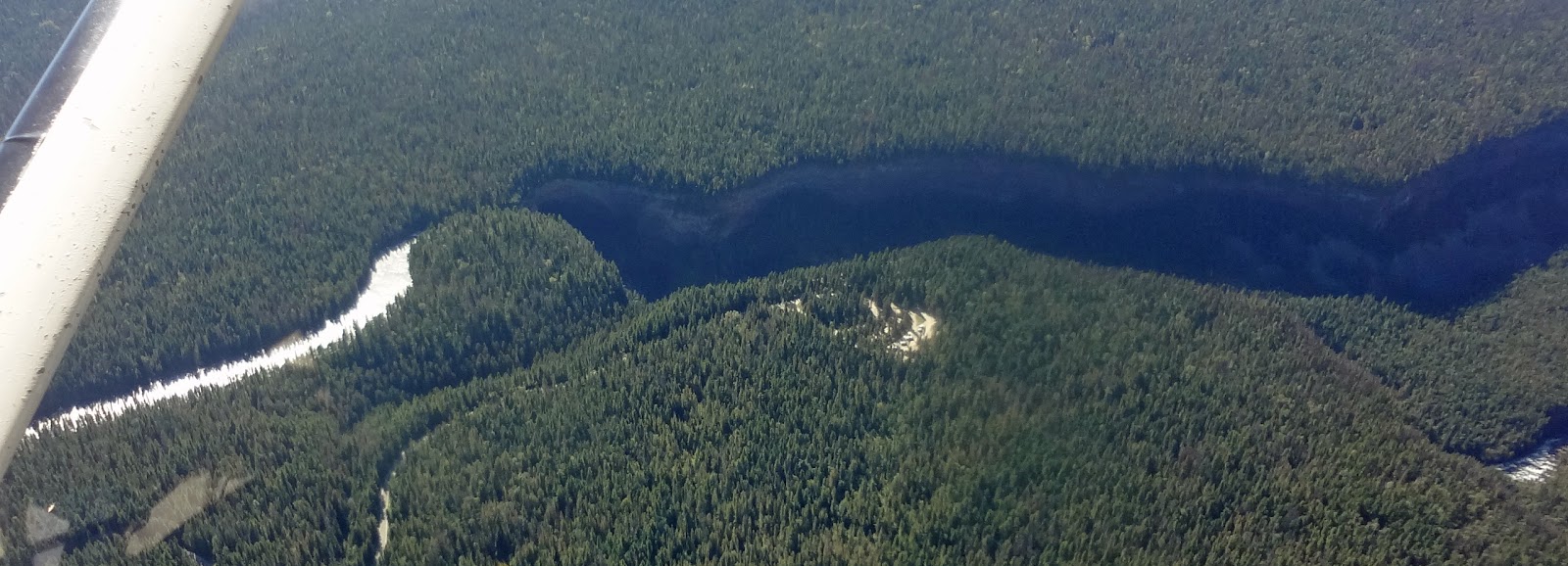
We had hoped to attend Fairmont Hot Spring's first ever Fly-In this weekend.  Getting there would not be a problem.  With thunderstorms forecast Sunday, getting home would be a challenge.  So we flew west, not east, to a destination long on our list:  Helmcken Falls in Wells Gray Provincial Park.
Helmcken Falls from above


Helmcken Falls and canyon
Not very impressive, eh?  But then Bill swung around for a face-on view, and the majesty of the drop was apparent.
http://www.worldwaterfalldatabase.com/waterfall/Helmcken-Falls-2303/
Websites talk about Helmcken being one of the "best waterfalls in all of North America".  With headsets and engine noise, we felt strangely insulated from the view out the windscreen.  We had no sense of the roar at the drop, or the height of the spray.  Here is one geological attraction best seen on foot!
Part of the 3 hours in the air covered new territory for us.  This unnamed lake stood out for its stiking colours around the perimeter:
florescent lake!


Our route took us through the northern portion of the Monashee Range.  The first tinge of Fall is evident on this knoll:
peaks and valleys in Monashee Range
SPOT did a good job of plotting this circle tour.  For routing and more photos, see:
https://www.findmespot.com/spotadventures/index.php/view_adventure?tripid=314757

Friday, 7 September 2012

The Slow Lane

Twin Lakes.  Photo credit:  Skip Young
Isn't this a tranquil scene?  Our friend Skip took the photo on his annual fishing weekend north of Invermere, and shared it and his adventures with us on his way home. 
This idyllic site, nestled in the Purcell Range, is rich in cutthroat trout.
http://www.adventurevalley.com/category.html?cat=Fishing/Hunting 
Hoping to find out more, I googled Twin Lakes, Invermere, and discovered another sports pastime:
http://www.youtube.com/watch?v=fTOZKYq8Mto&feature=related
Skip assures me that 'his' Twin Lakes have neither the elevation nor the depth for cliff diving.  It got me thinking about the lack of imagination in BC place names.  We have a Bear Lake and a Fish Lake near us, and even the locals disagree on which is which.  Cedar Creek is another ubiquitous place name.  What examples can you contribute, dear readers?